USER RESEARCH & HUMAN-CENTERED REDESIGN PROPOSAL
bus icons by Noun Project
PROJECT OVERVIEW
Inspiration
Once commercial fishing docks and single-story parking lots, the Seaport District is the fastest growing area of development in Boston.
Redevelopment of this peninsula started in earnest in Y2010 following the completion of the Big Dig, which redirected traffic allowing for new travel routes to the Seaport.
As parking spaces decrease and traffic bottle-necks entering and exiting the area increase, there is a need to address public transportation.
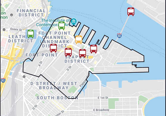
Previously unserved by public transportation, the Seaport is now part of the public bus service on the Silver Line.
Job growth in the Seaport has been exponential. Seaport employment is expected to increase from 44,0000 in Y2018 to 89,000 in Y2030.
Goals
Understand the pain points of the current Seaport public transportation commute.
Create a a storyboard proposal for a realistic improvement to the current system.
Process

Following the IDEO UX Design Thinking process, my team:
Wrote a script for face-to-face interviews and identified three key interview locations.
Conducted on-the-street interviews with people of different sexes and ages during the rush hour in the Seaport.
Created an empathy map to illustrate the data collected and define the problems.
Ideated solutions to the problems.
Focused on a solution that is desirable, viable, and feasible.
USER EXPERIENCE
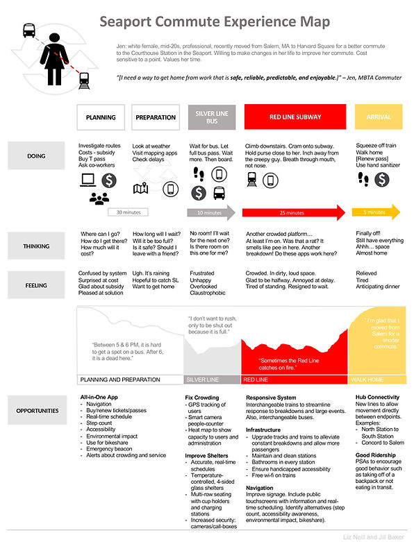
User Persona: Jenny
"Jenny" is compilation of multiple commuters with common complaints.
Female in her 20s.
Easing her commute is a priority.
Commutes to the 1st bus stop in the Seaport: Courthouse Station.
Has a limited budget.
Concerned about the safety and irregularity of the buses.
Experience Map
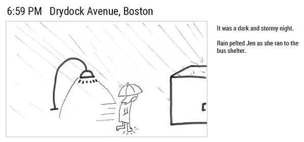
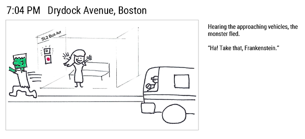
STORYBOARDS

MARCH 2022 UPDATE
Seaport employment is expected to increase from 44,000 in Y2018 to 89,000 in Y2030, with most of those workers commuting to the Seaport.
As the area continues development, new bus stops are being added.
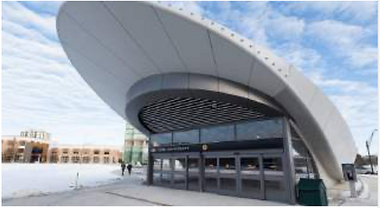
Safe, new bus stops are expected to be completely by Y2030. The agency that oversees planning of the area published the following drawings of planned bus stops.